Indiana inland lakes
Indiana lake depth maps
Interactive 3D depth maps of Indiana's lakes, built from public Indiana DNR bathymetric surveys. 137 lakes across 40 counties — and growing.
Featured depth maps
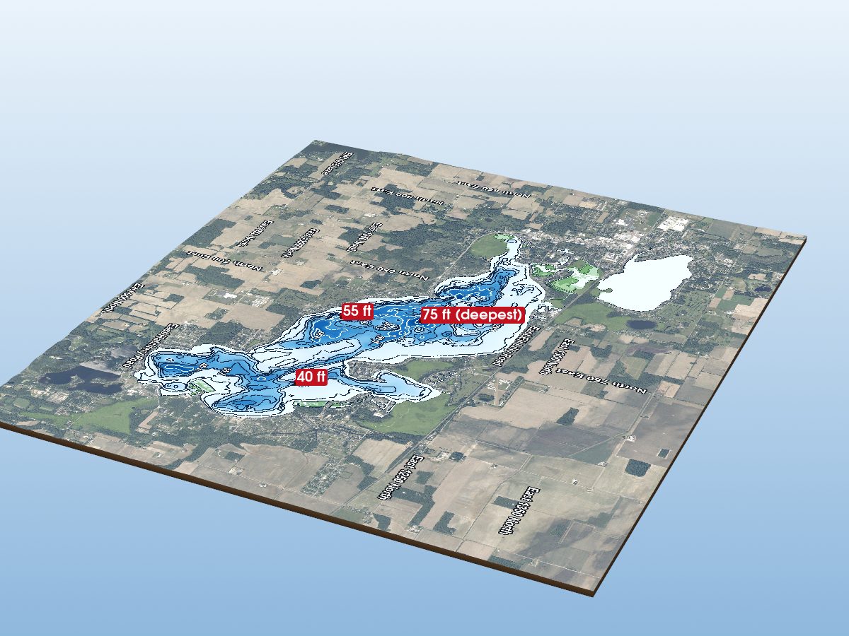 Largest lakeLake WawaseeExplore the 3D map
 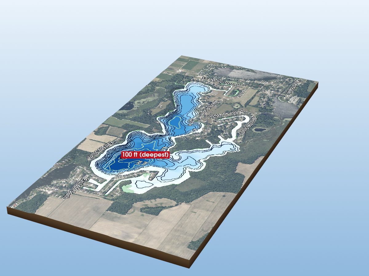 Deepest mapped contourDallas LakeExplore the 3D map
 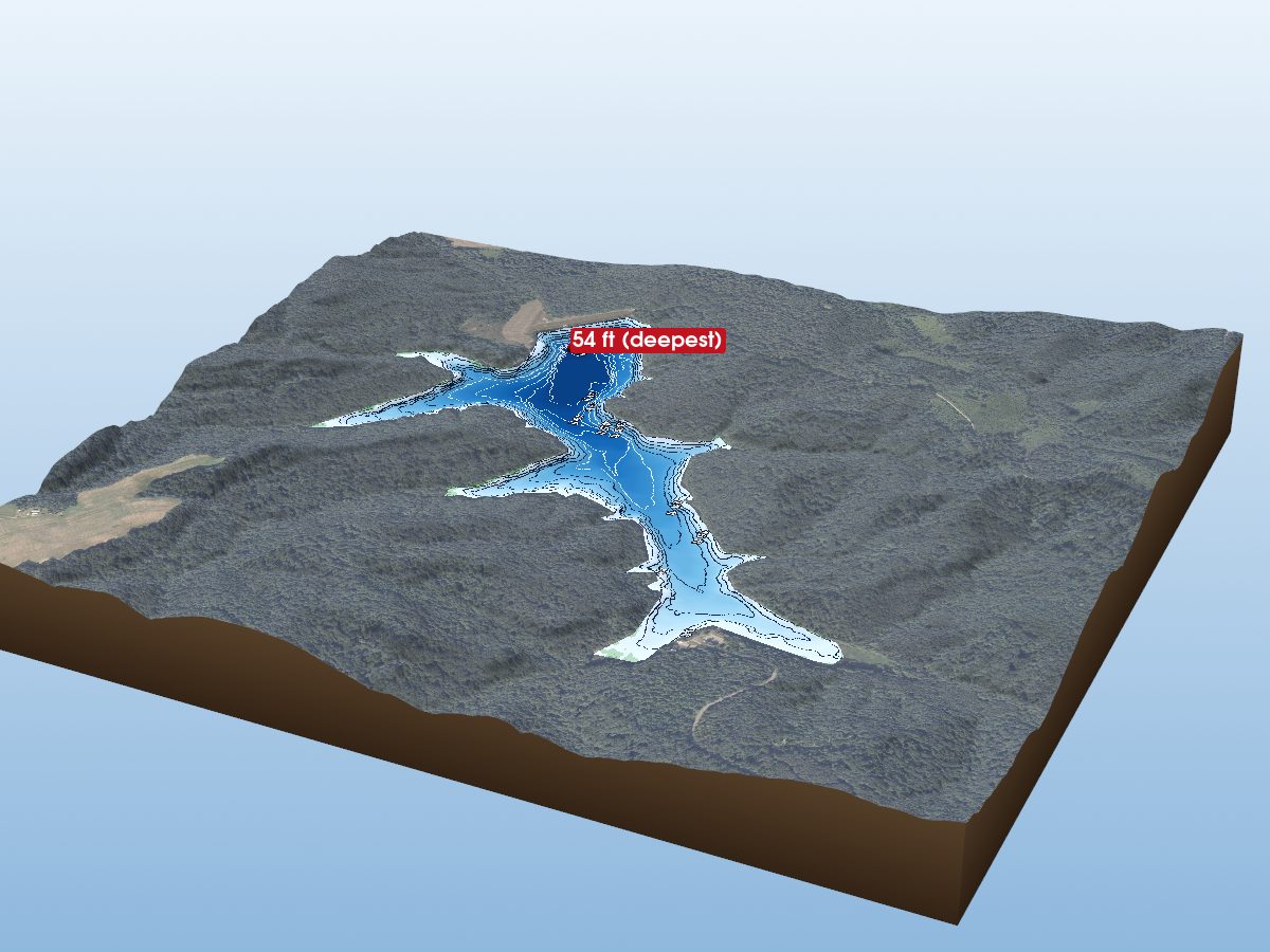 Southern Hills & ReservoirsLake CelinaExplore the 3D map
 137 lakes mapped — browse them by county, or see the deepest and the largest.
Where the lakes are
Each dot is a lake. Max depth: under 15 ft 100 ft and deeper
Counties with depth mapsNo maps in the current collection
Tap a highlighted county to explore its lakes.
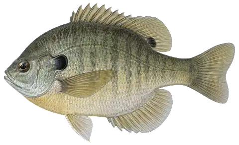
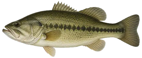
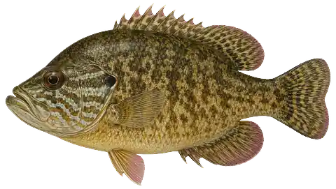
Fish of Indiana lakes18 species: where each one lives, how many turn up in DNR surveys, and how to tell them apartInvasive species: how to spot and report 10 plants and animals recorded in Indiana lakes
Counties mapped
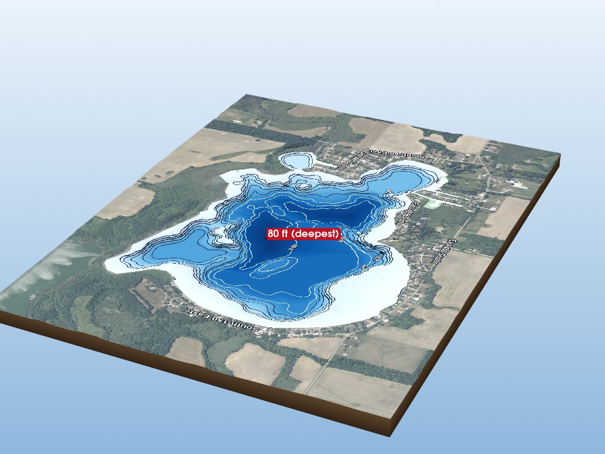
LaGrange County
Kosciusko County
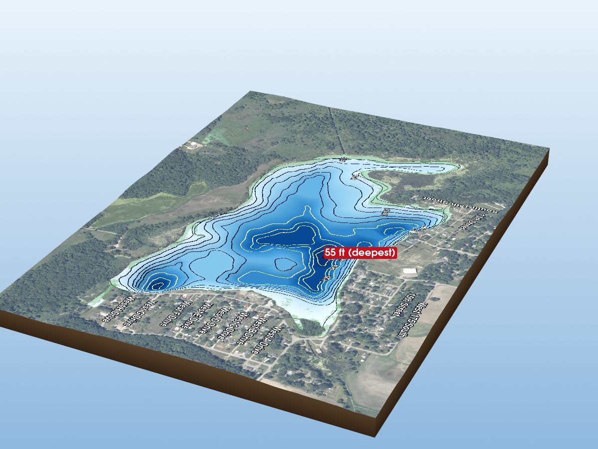
Noble County
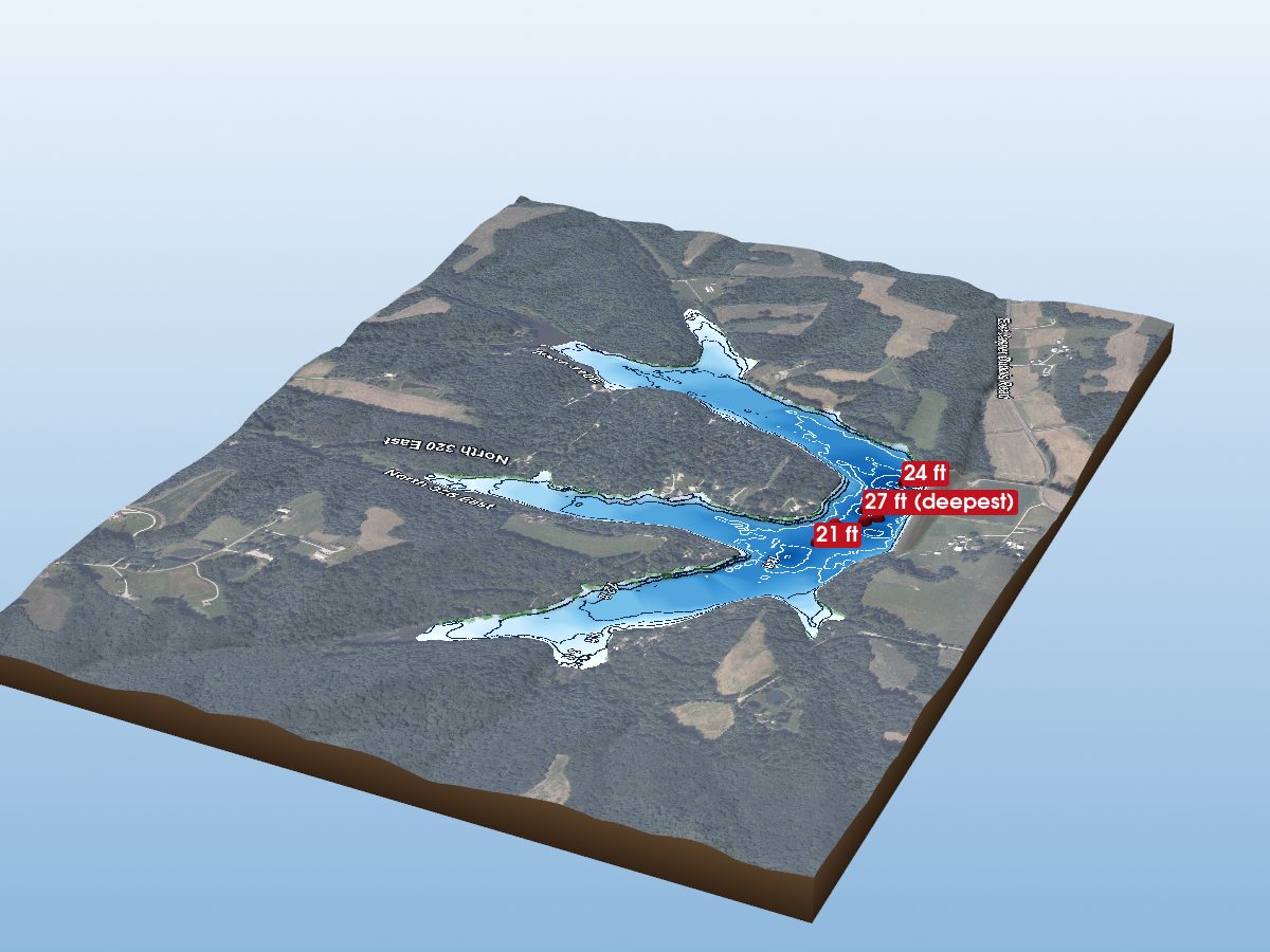
Dubois County
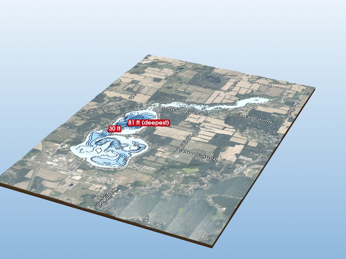
Steuben County
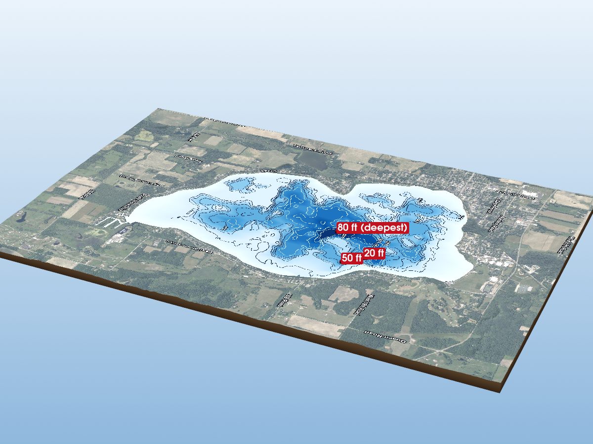
Marshall County
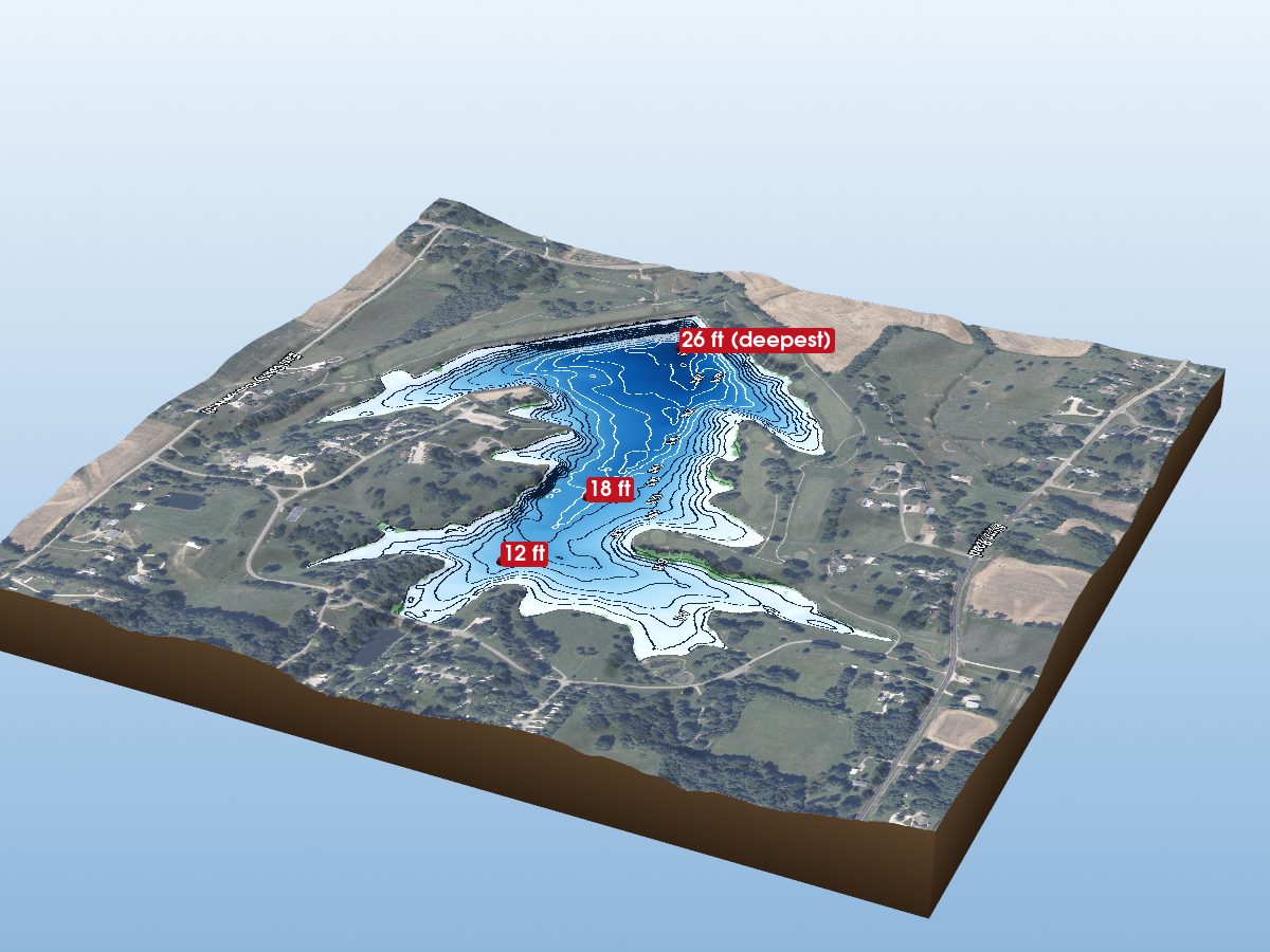
Pike County
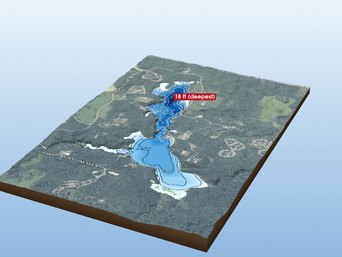
St. Joseph County
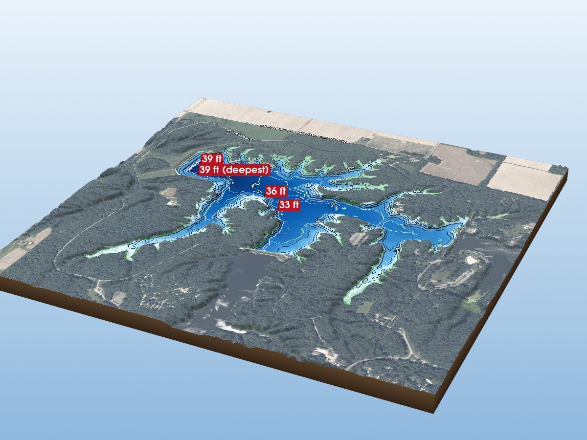
Sullivan County
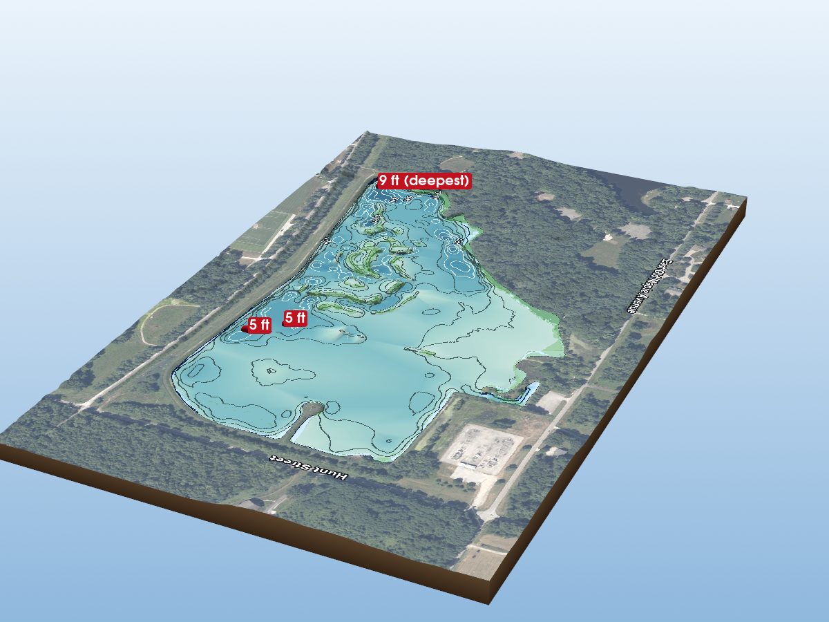
Vigo County
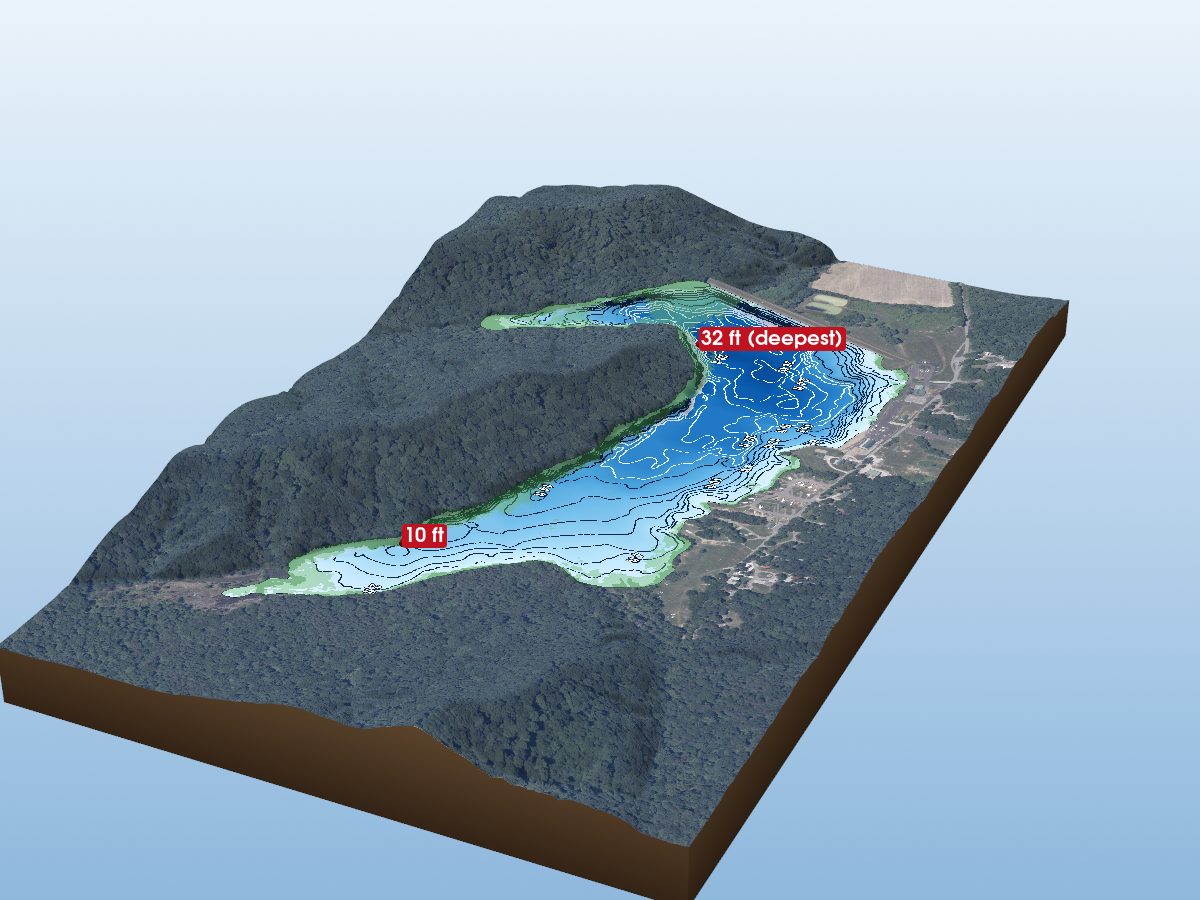
Washington County
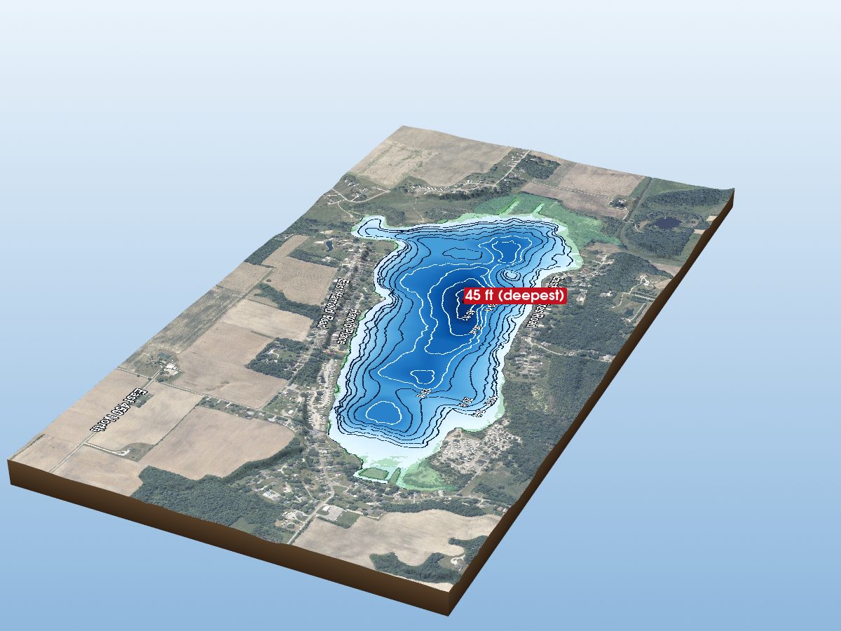
Whitley County
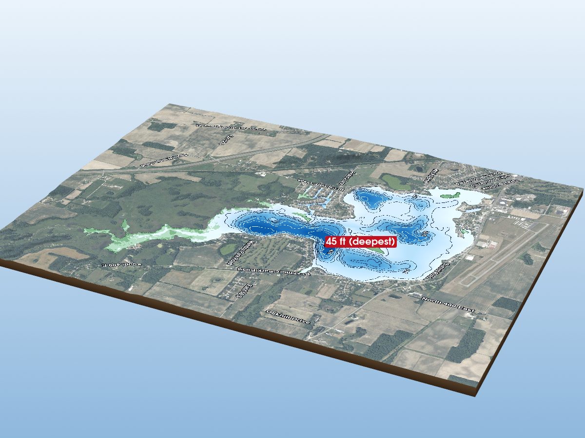
Fulton County
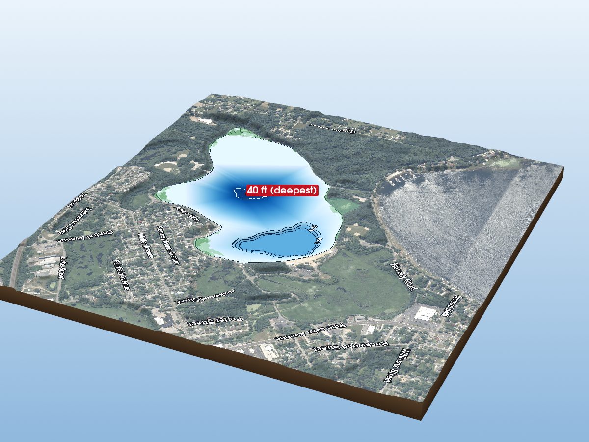
LaPorte County
Perry County
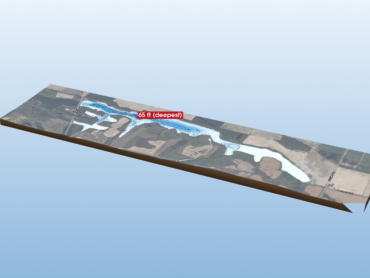
Warrick County
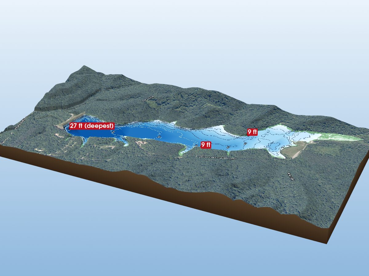
Brown County
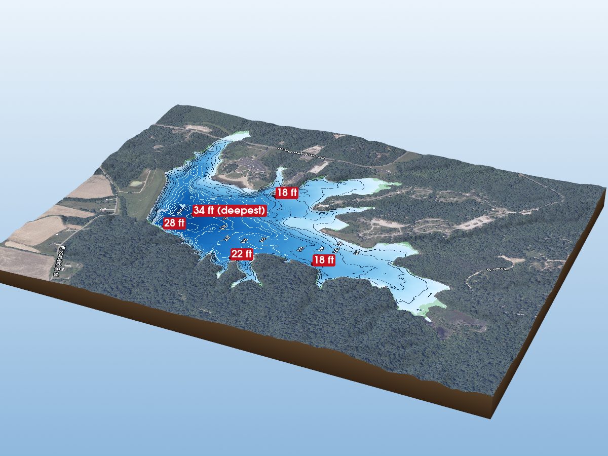
Clark County
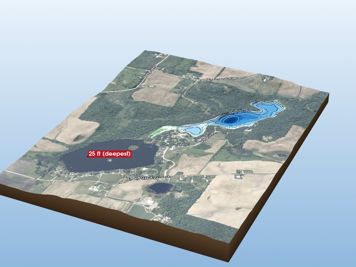
DeKalb County
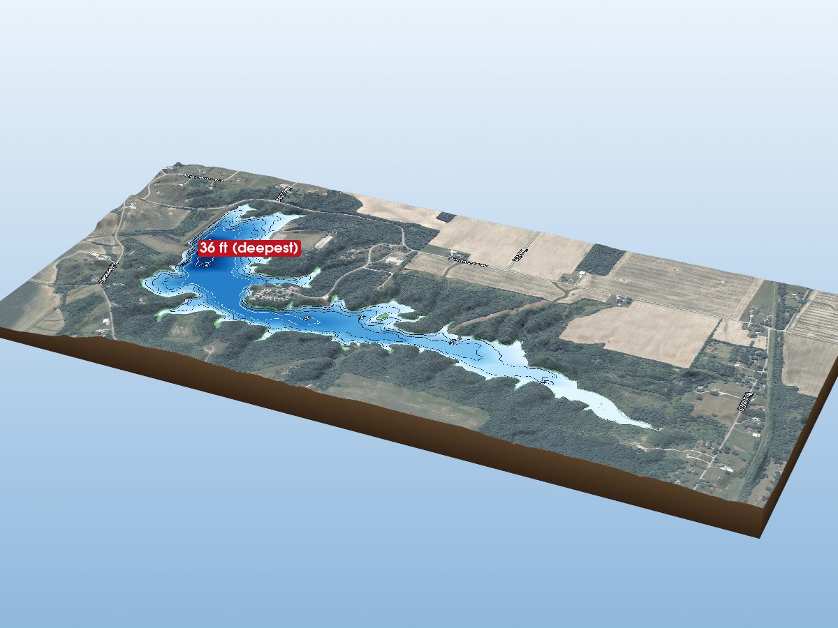
Henry County
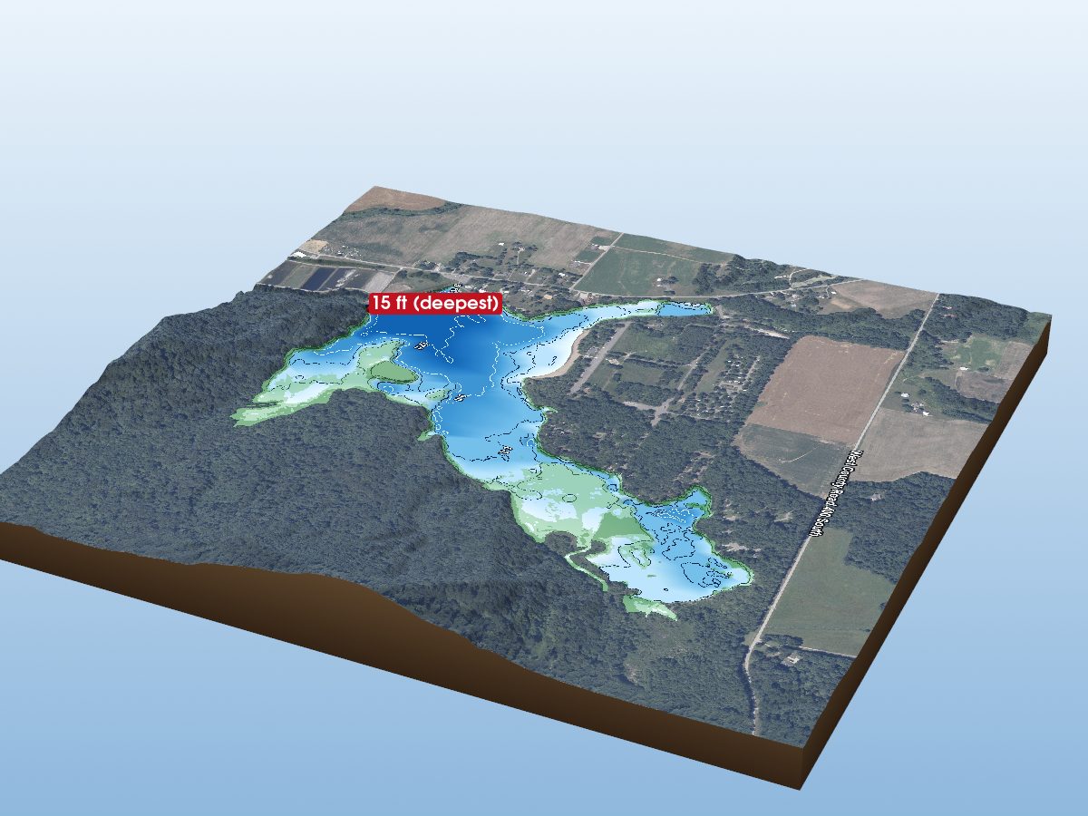
Jackson County
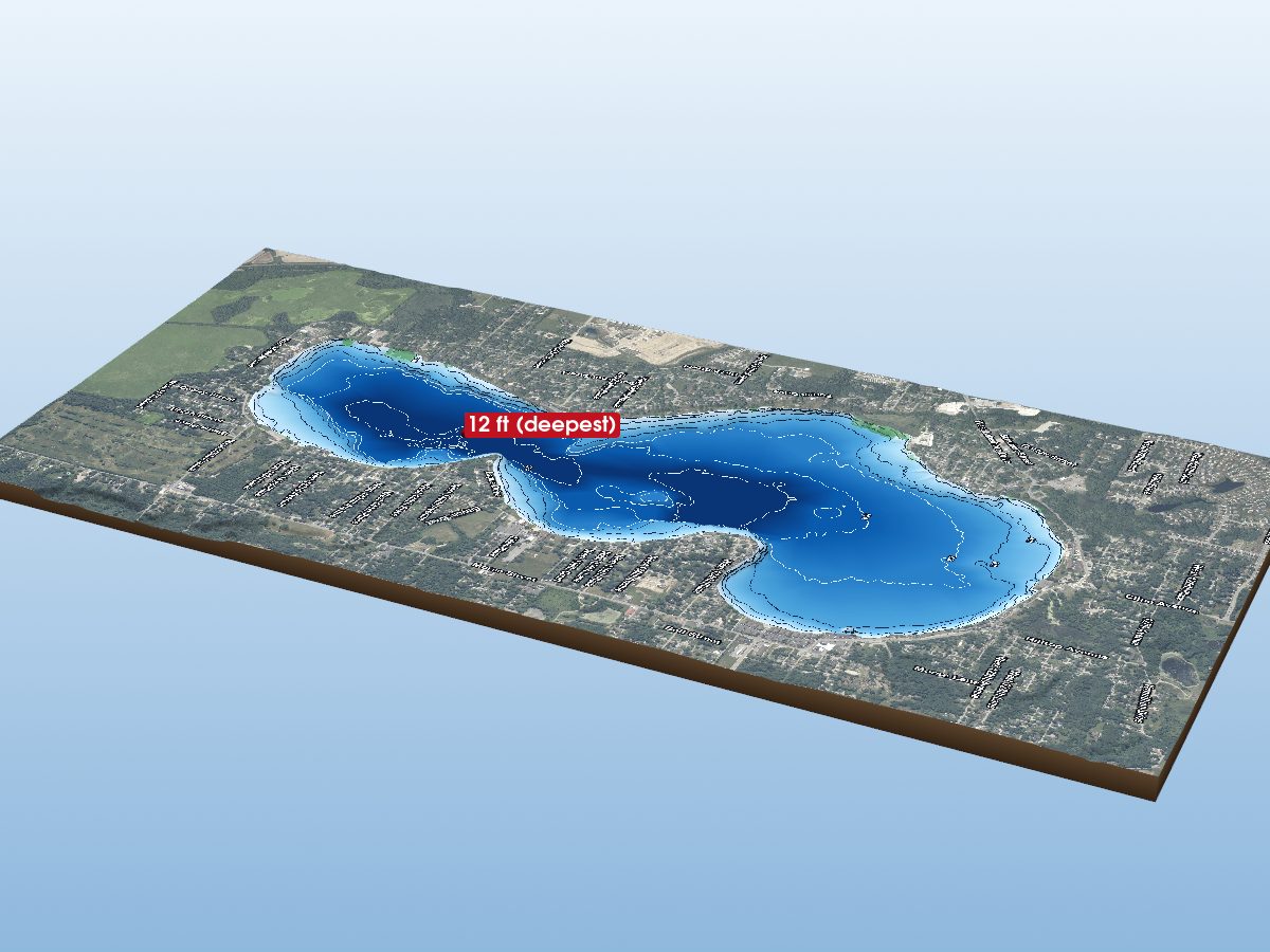
Lake County
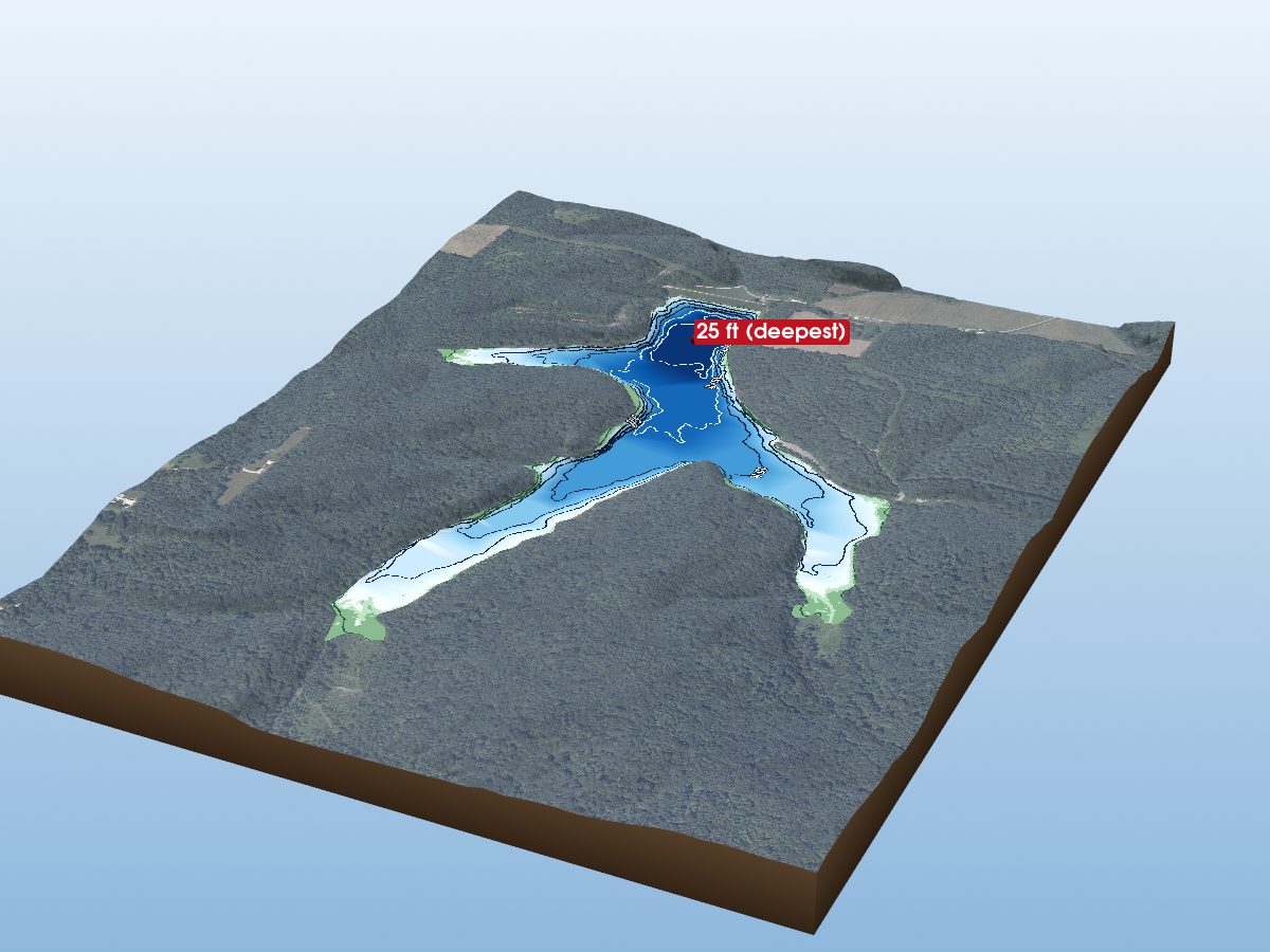
Orange County
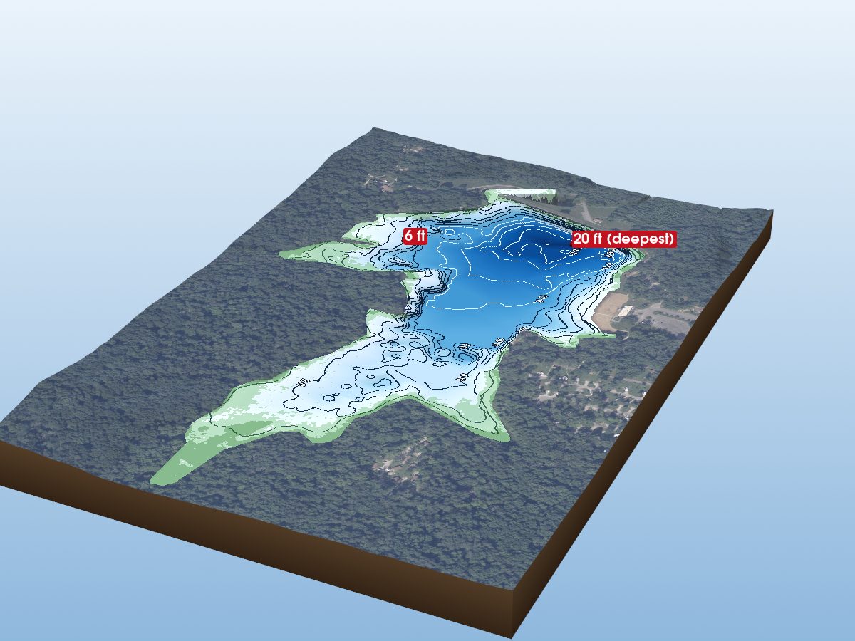
Spencer County
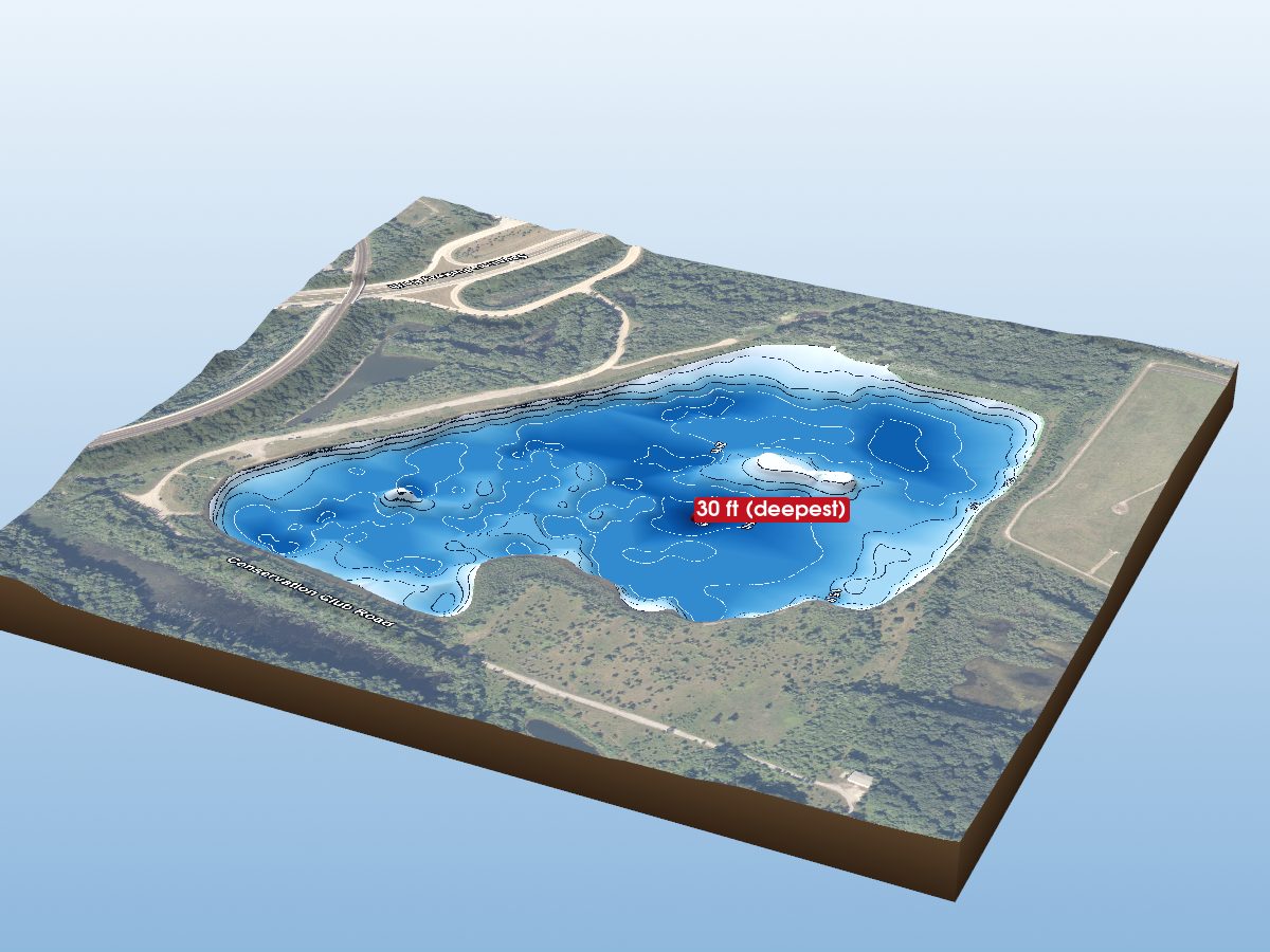
Tippecanoe County
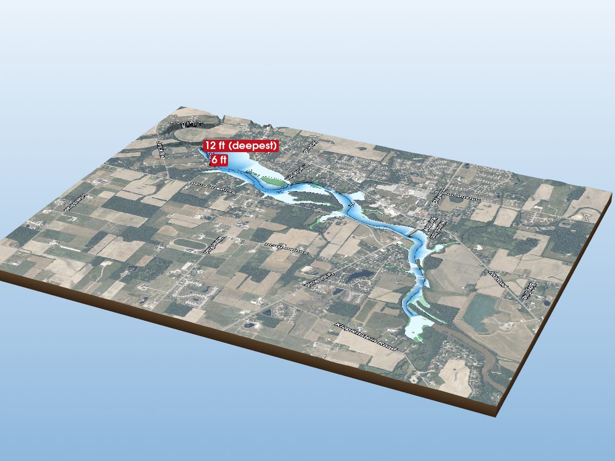
Allen County
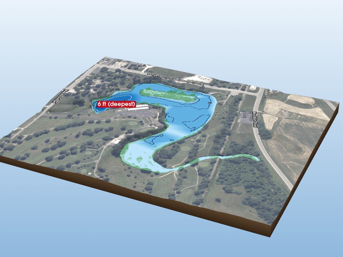
Decatur County
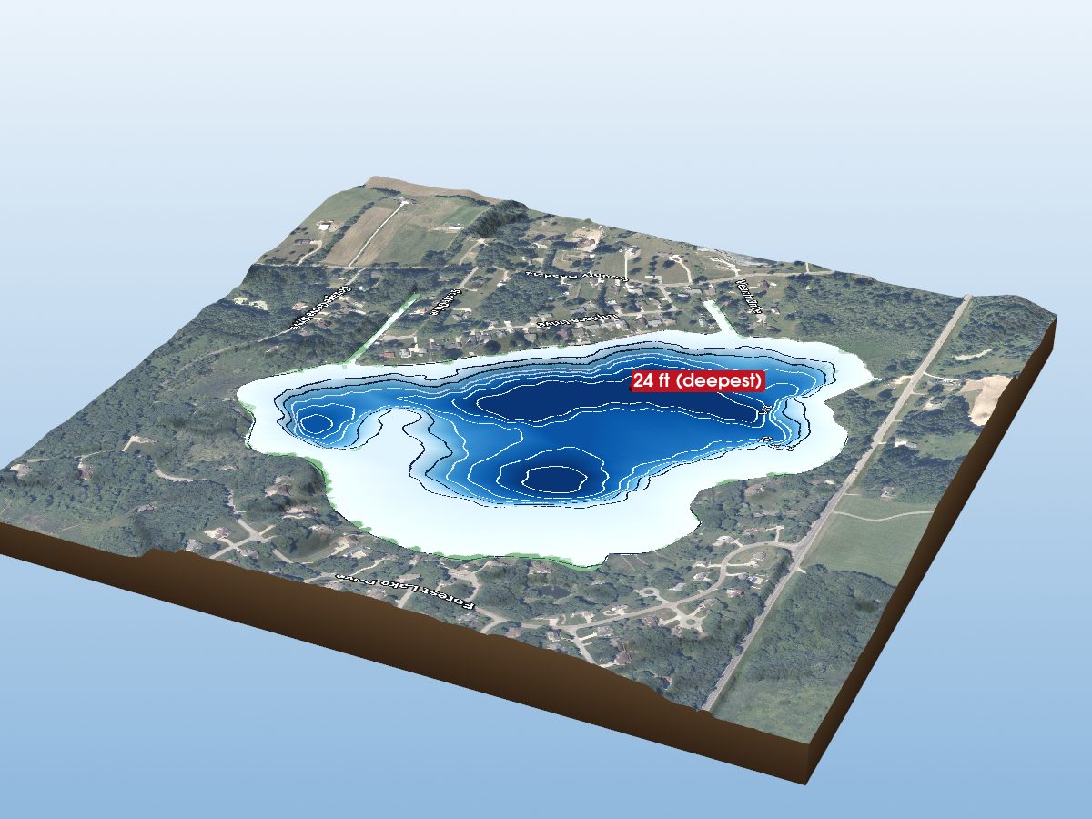
Elkhart County
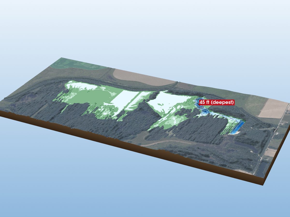
Greene County
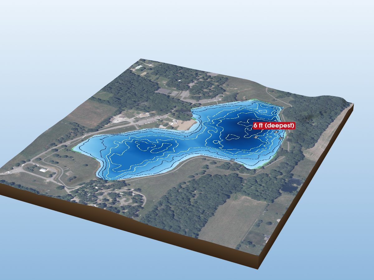
Harrison County
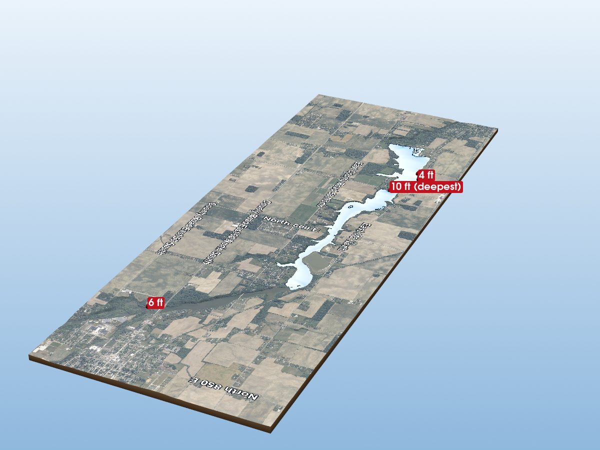
Howard County
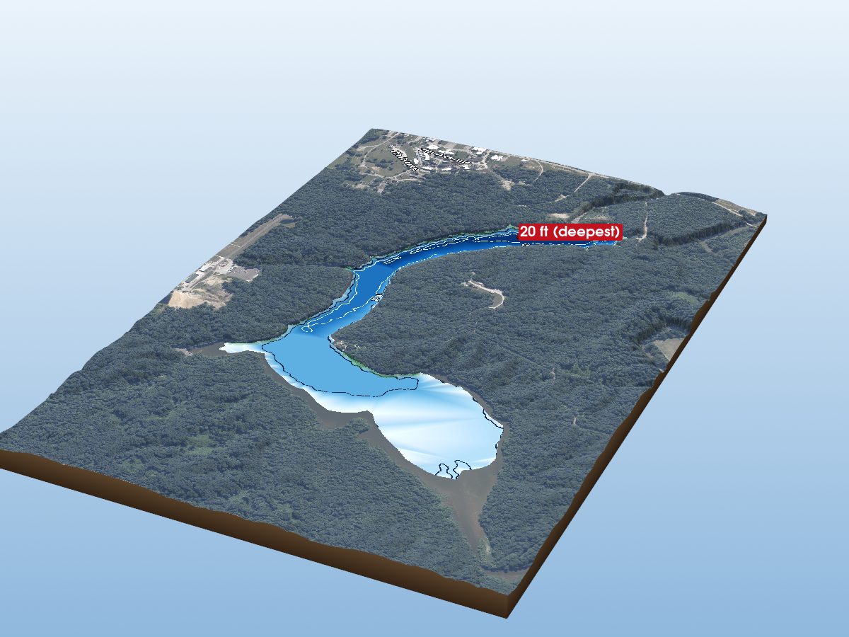
Jennings County
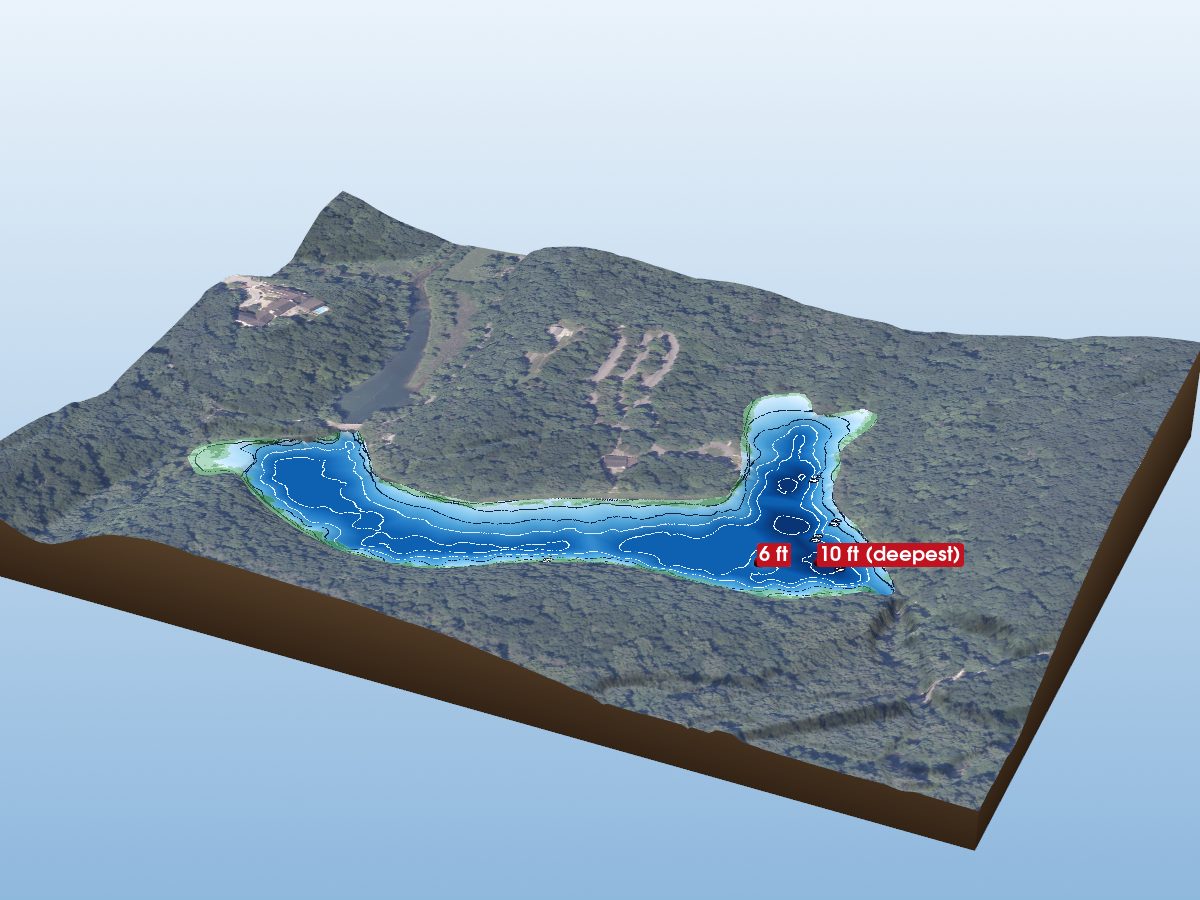
Lawrence County
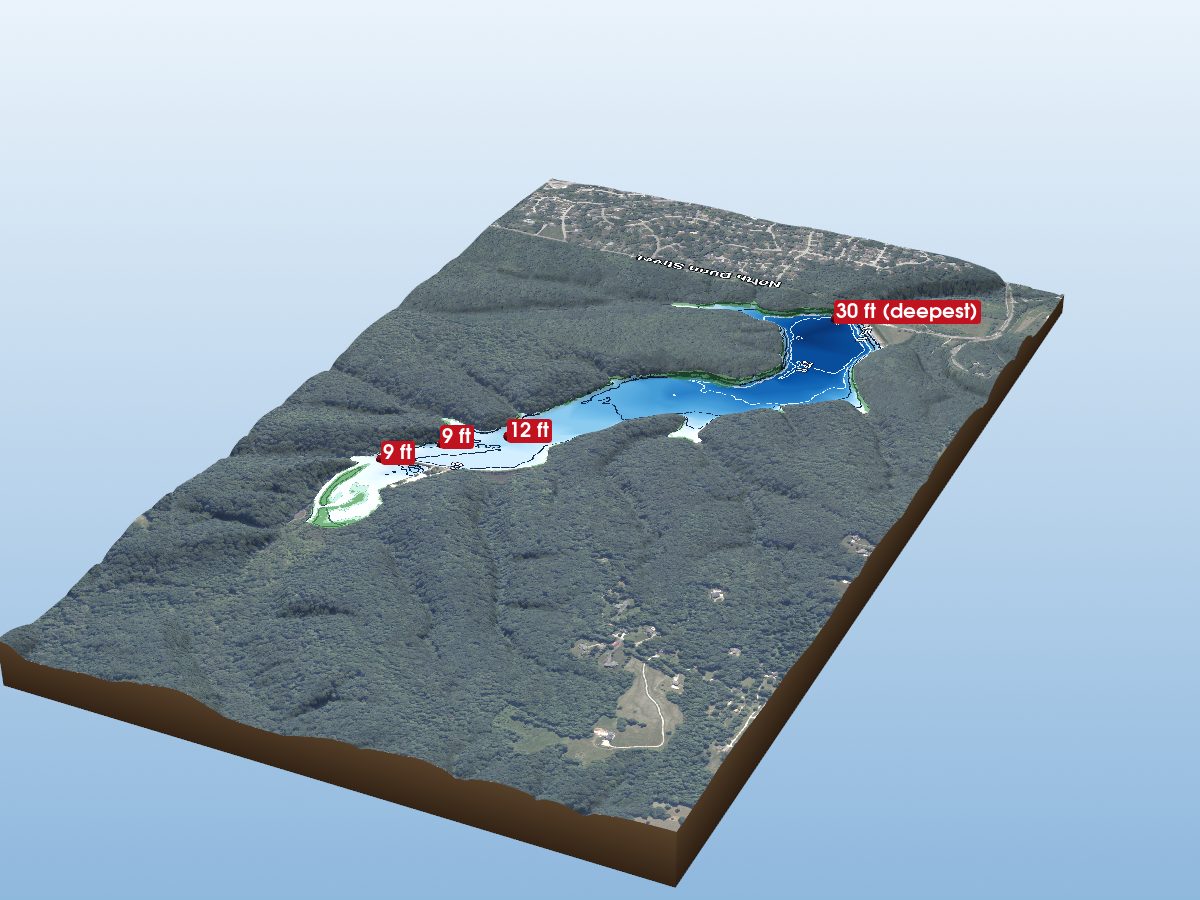
Monroe County
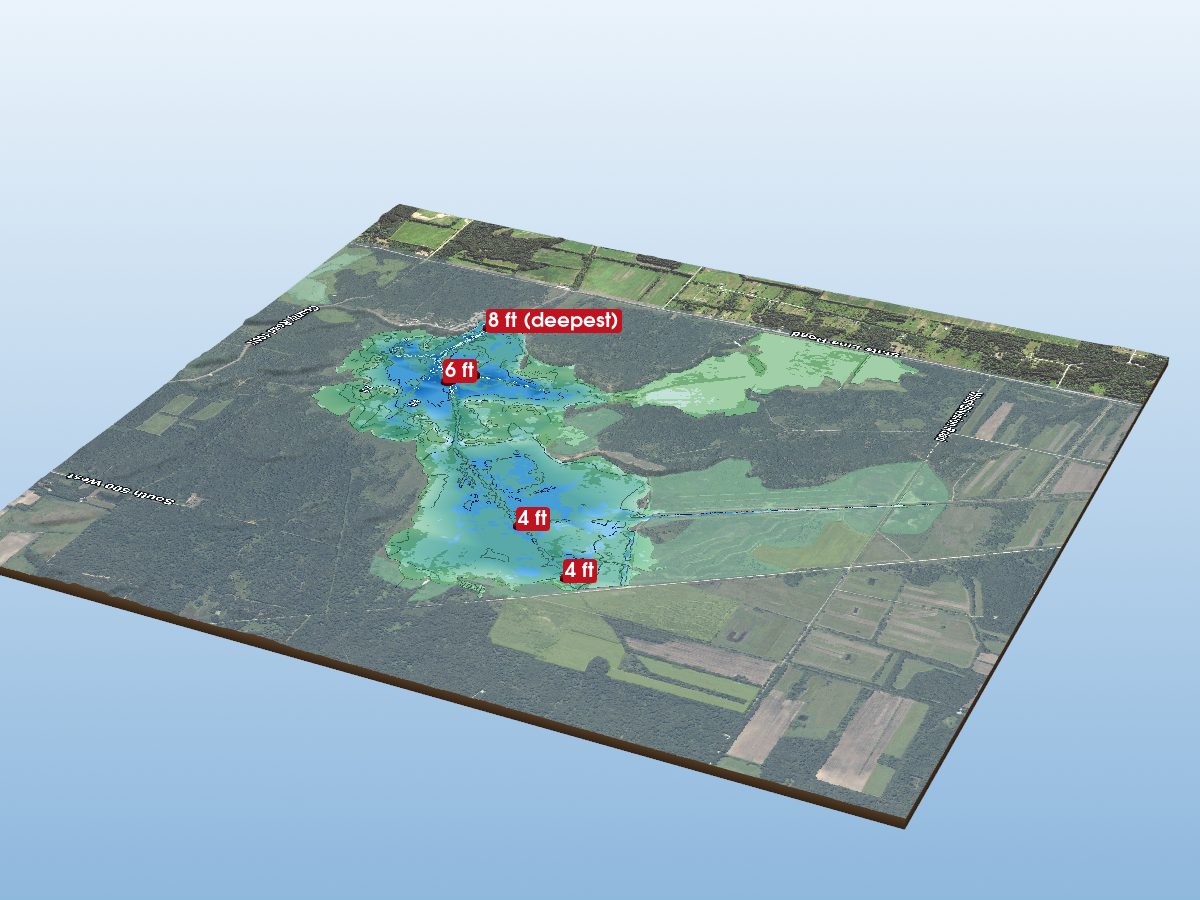
Newton County
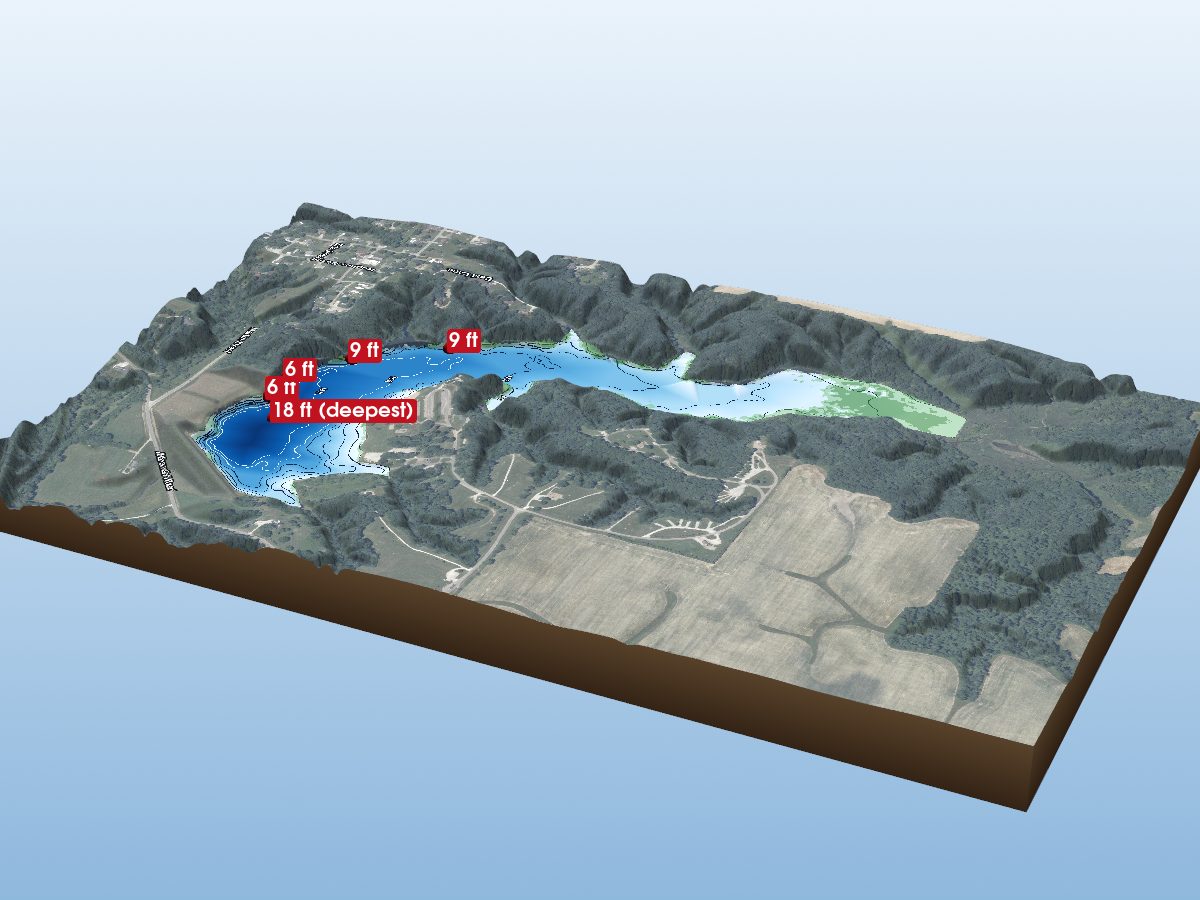
Parke County
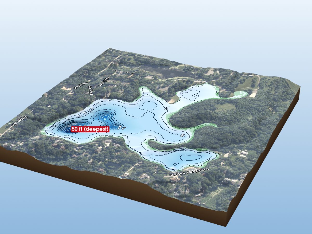
Porter County
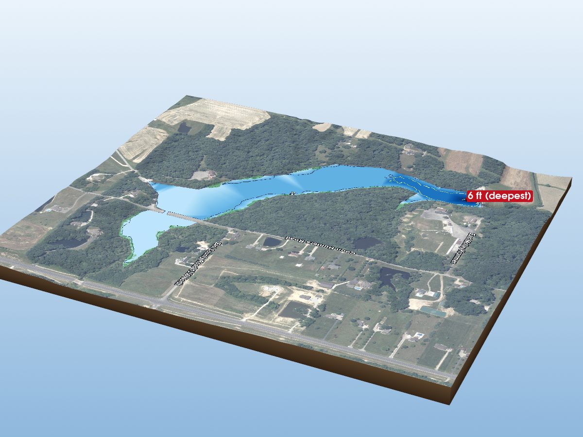
Ripley County
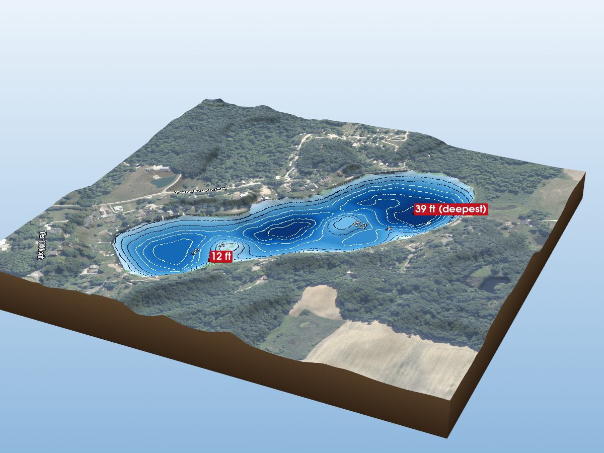
Wabash County
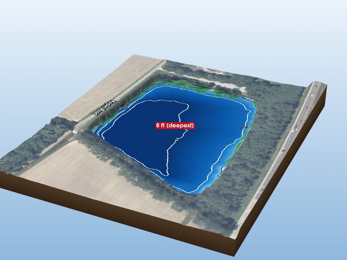
Wayne County