Indiana · LaGrange County
LaGrange County lake depth maps
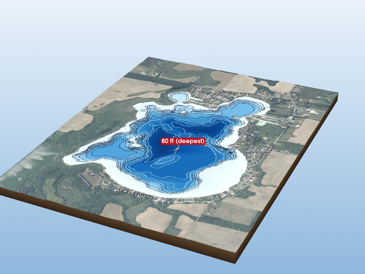
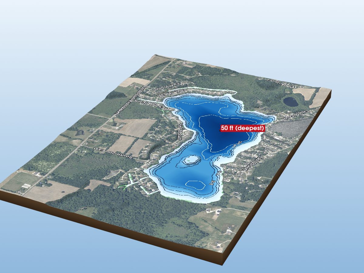
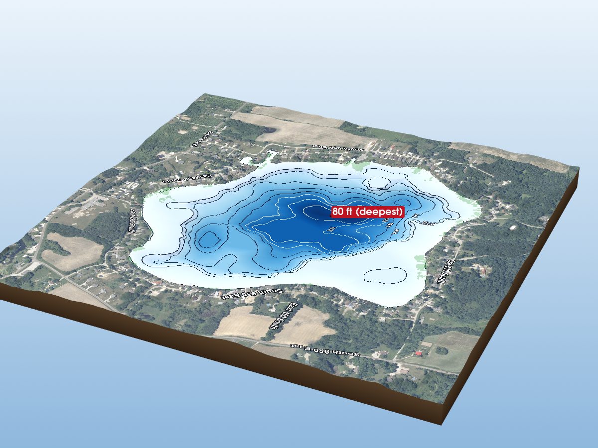
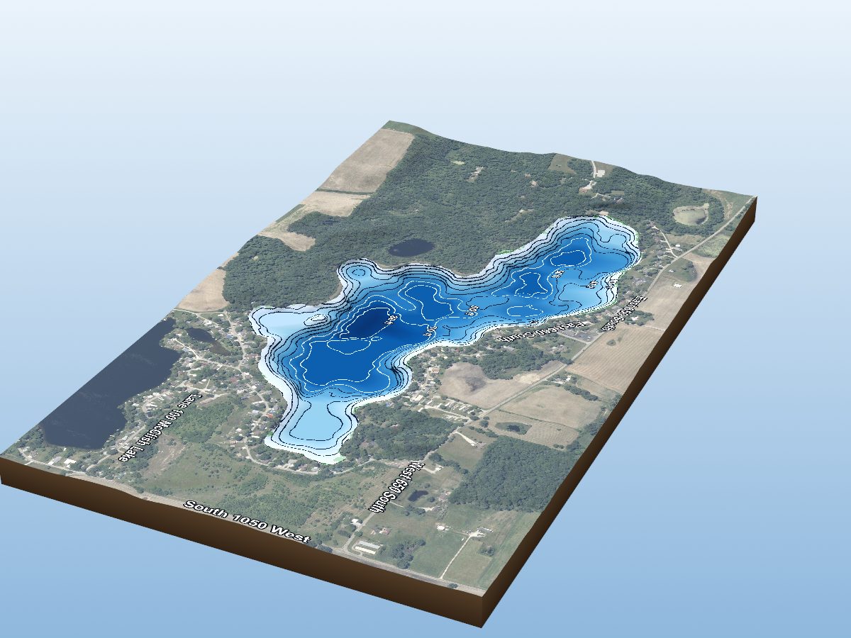
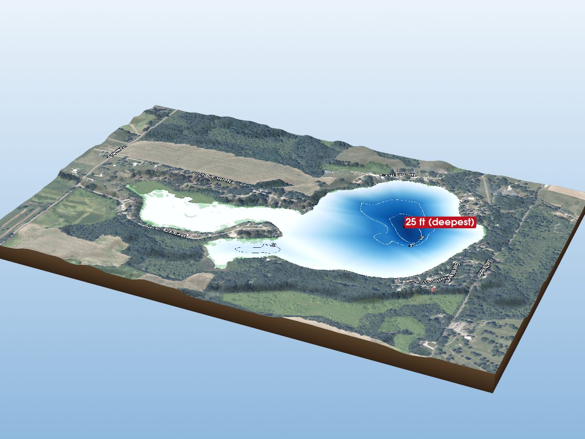
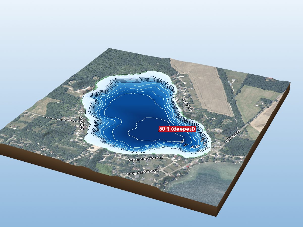
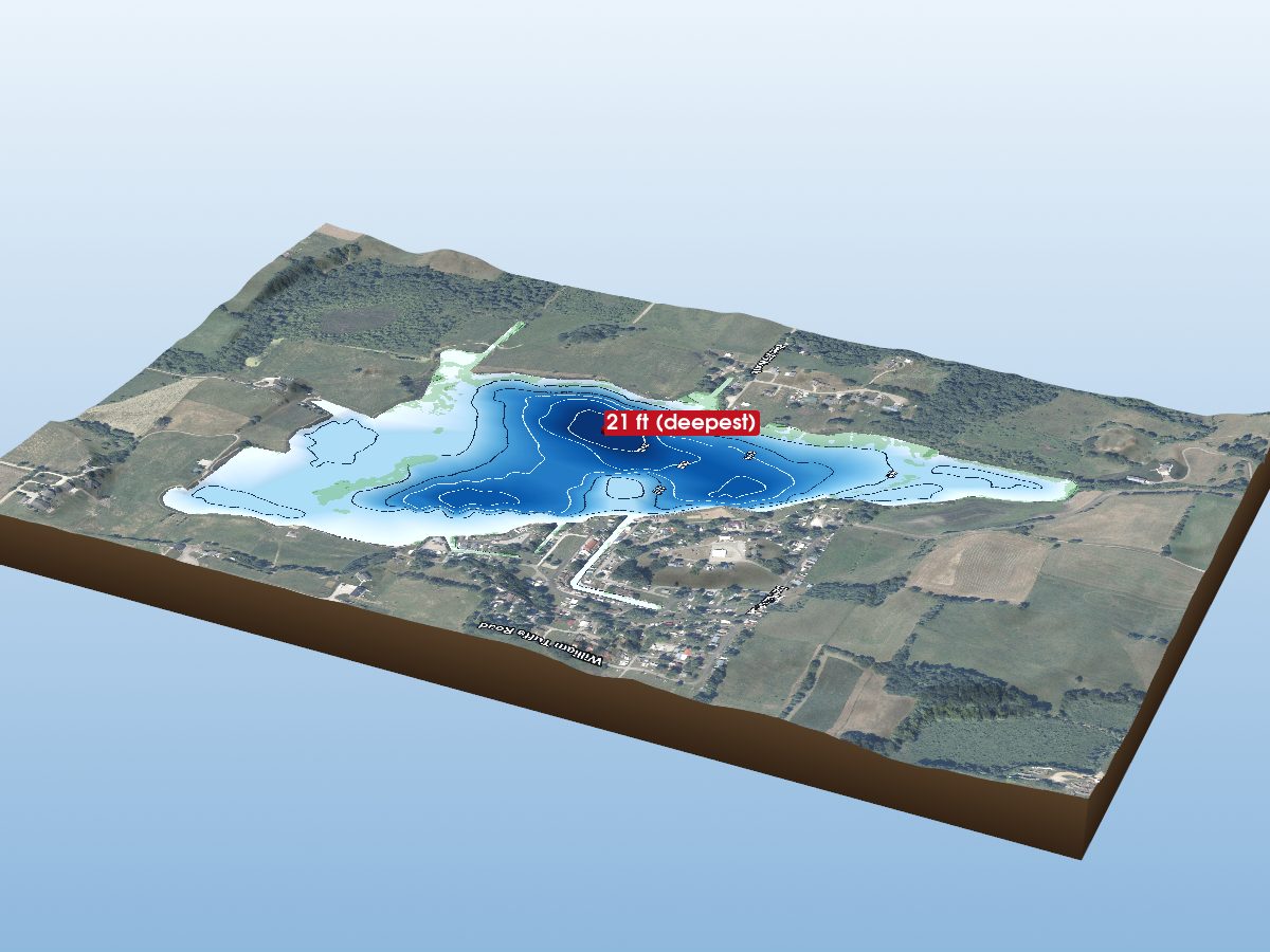
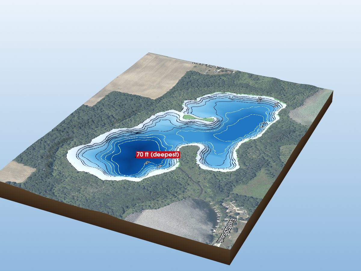
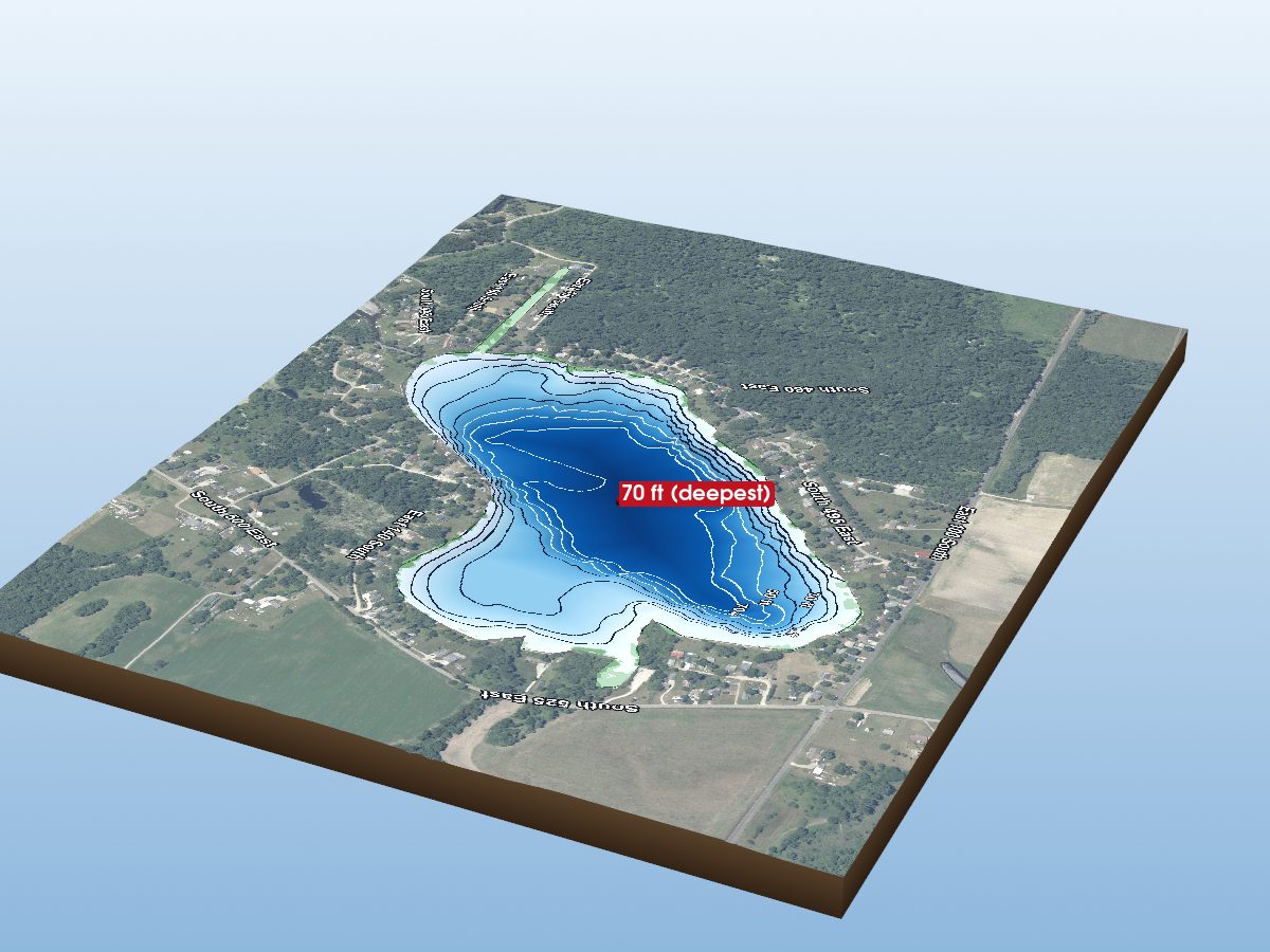
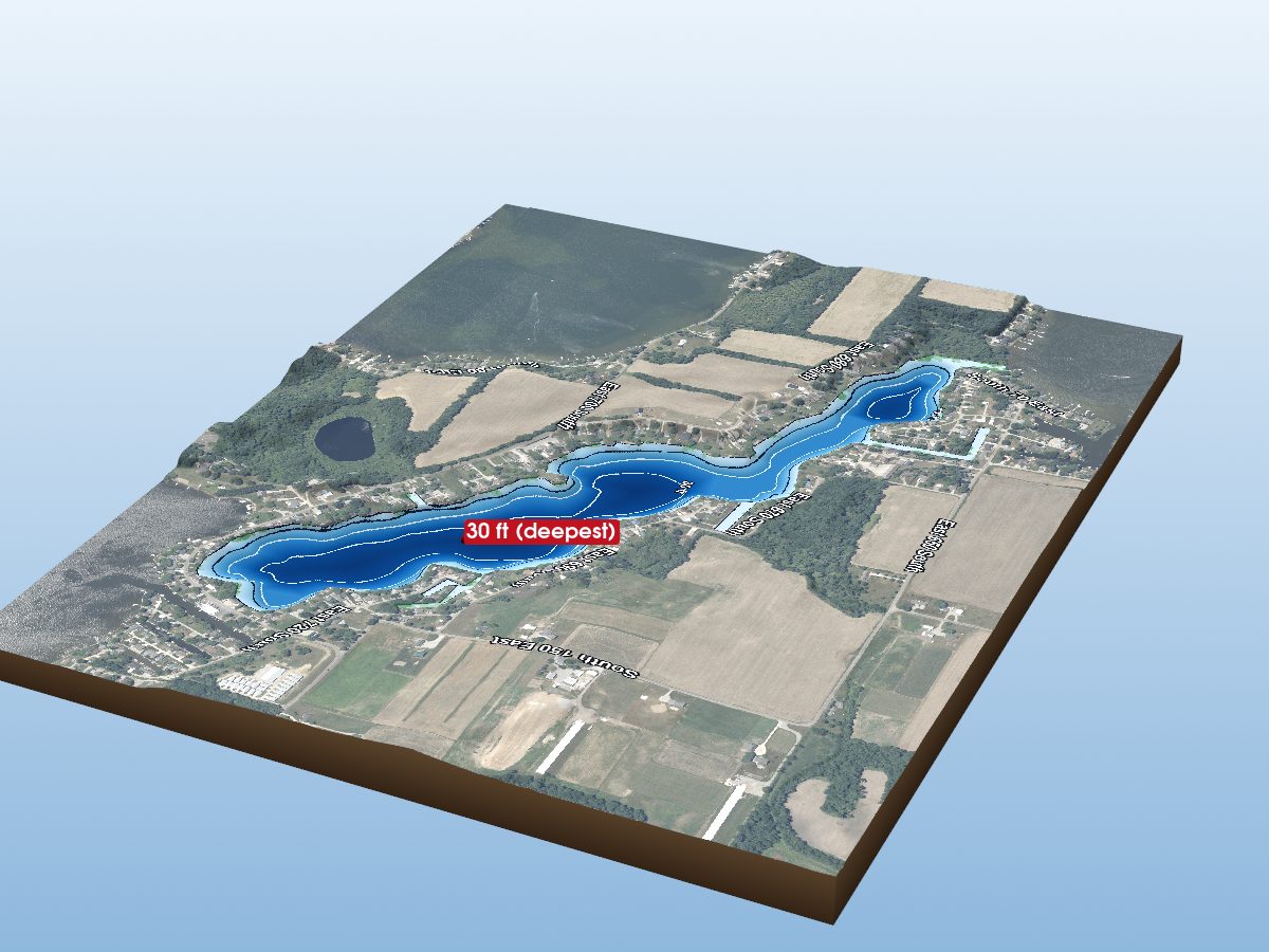
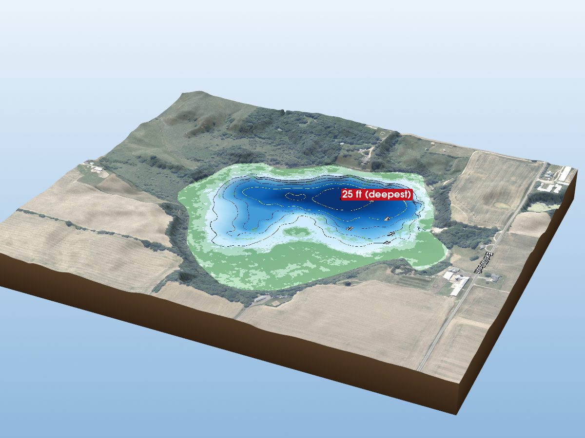
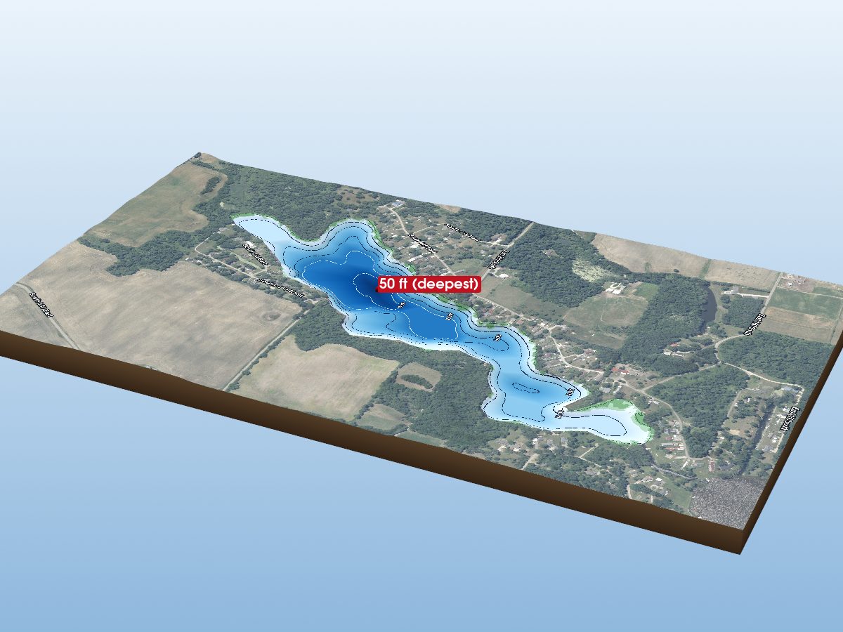
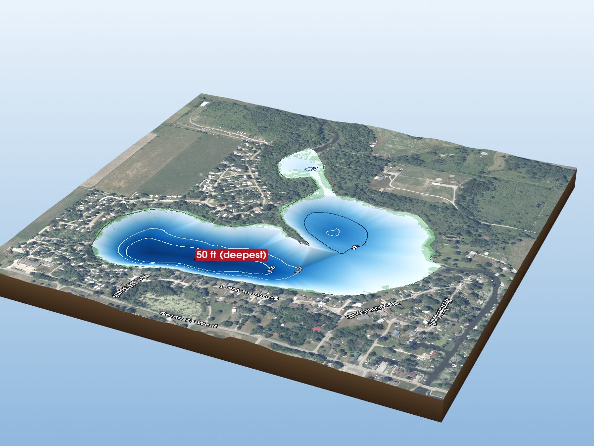
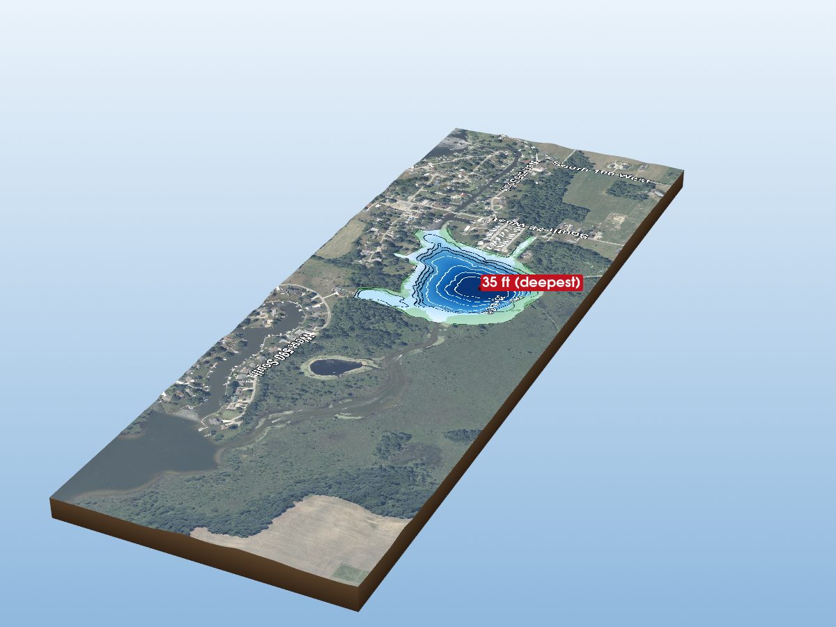
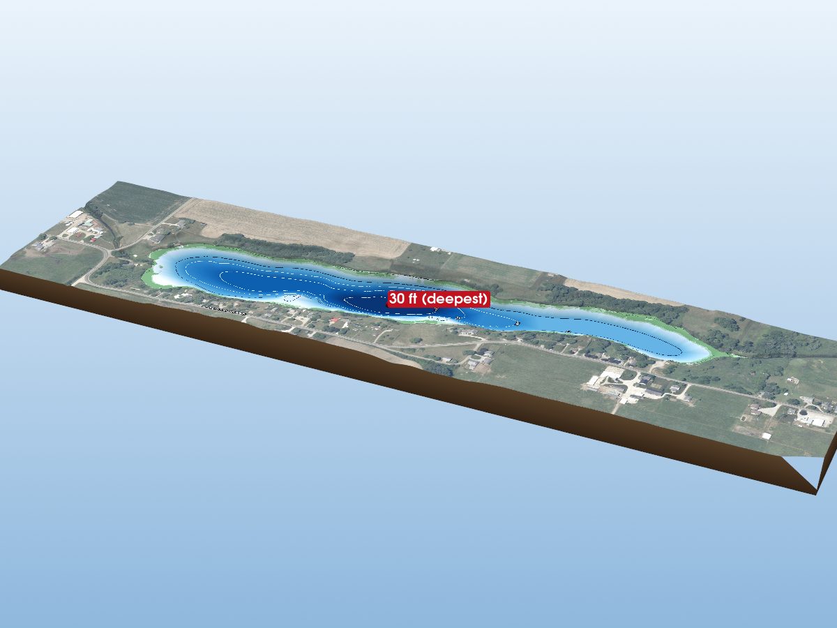
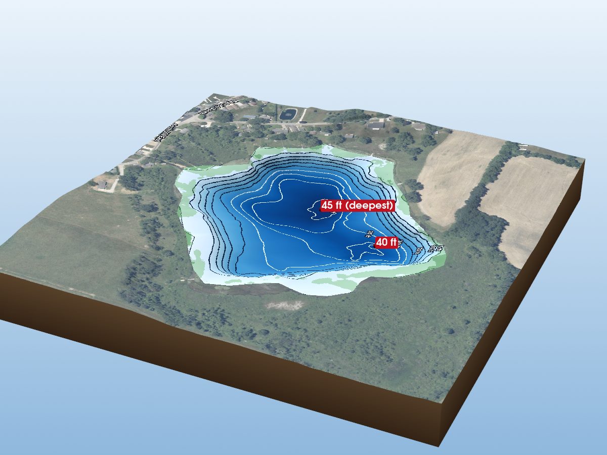
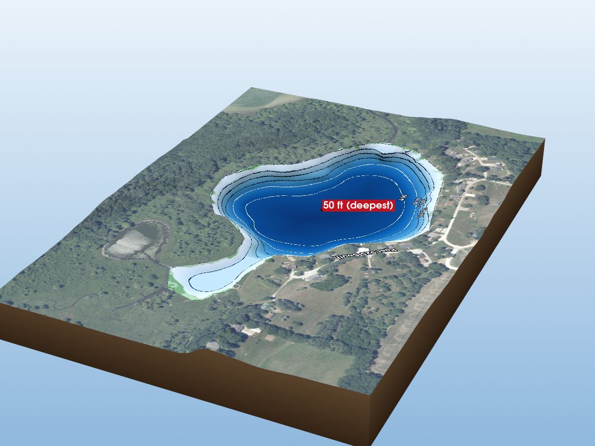
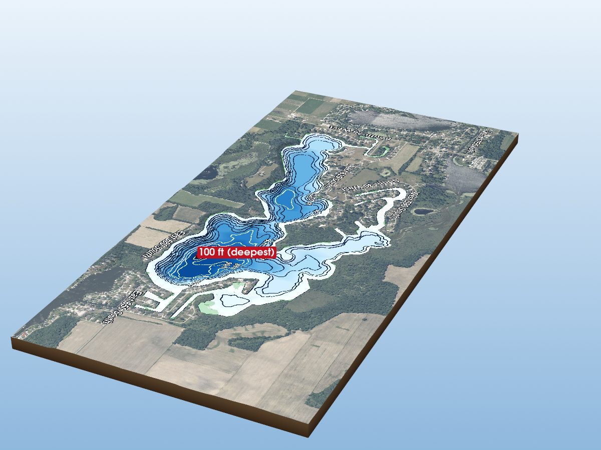
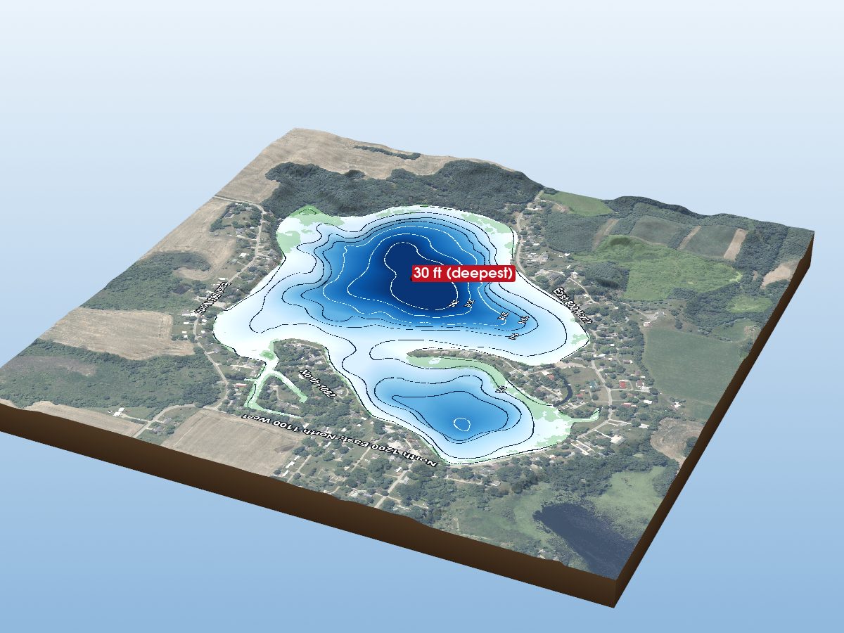
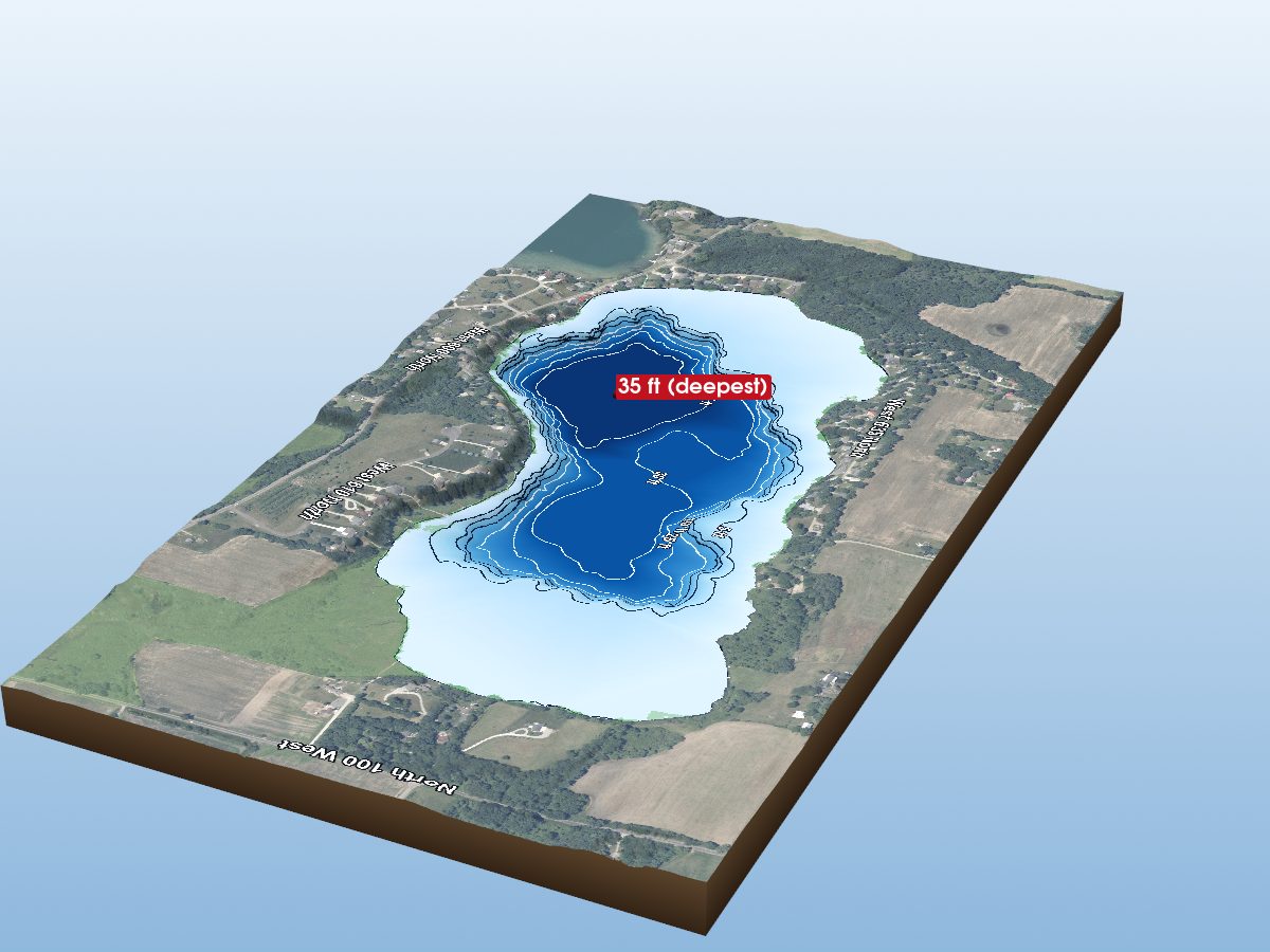
Explore 20 lakes as 3D depth maps, built from Indiana DNR bathymetric surveys — surveyed depth draped over real elevation and aerial imagery.
Featured depth maps
Where the lakes are
Dot size and shade follow max depth: under 15 ft 100 ft and deeper
All 20 mapped lakes in LaGrange County; deepest is Dallas Lake at 100 ft. Tap a dot to open that lake.
Depth (ft)
–
Acreage
–
Max weeds (aquatic veg %)
%
County
Fish species (surveyed lakes)
Surveyed since (fishery)