The Backwaters
depth
Get directions
Depth scale
Survey readout
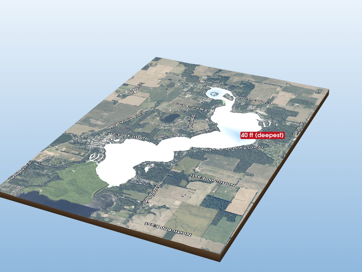
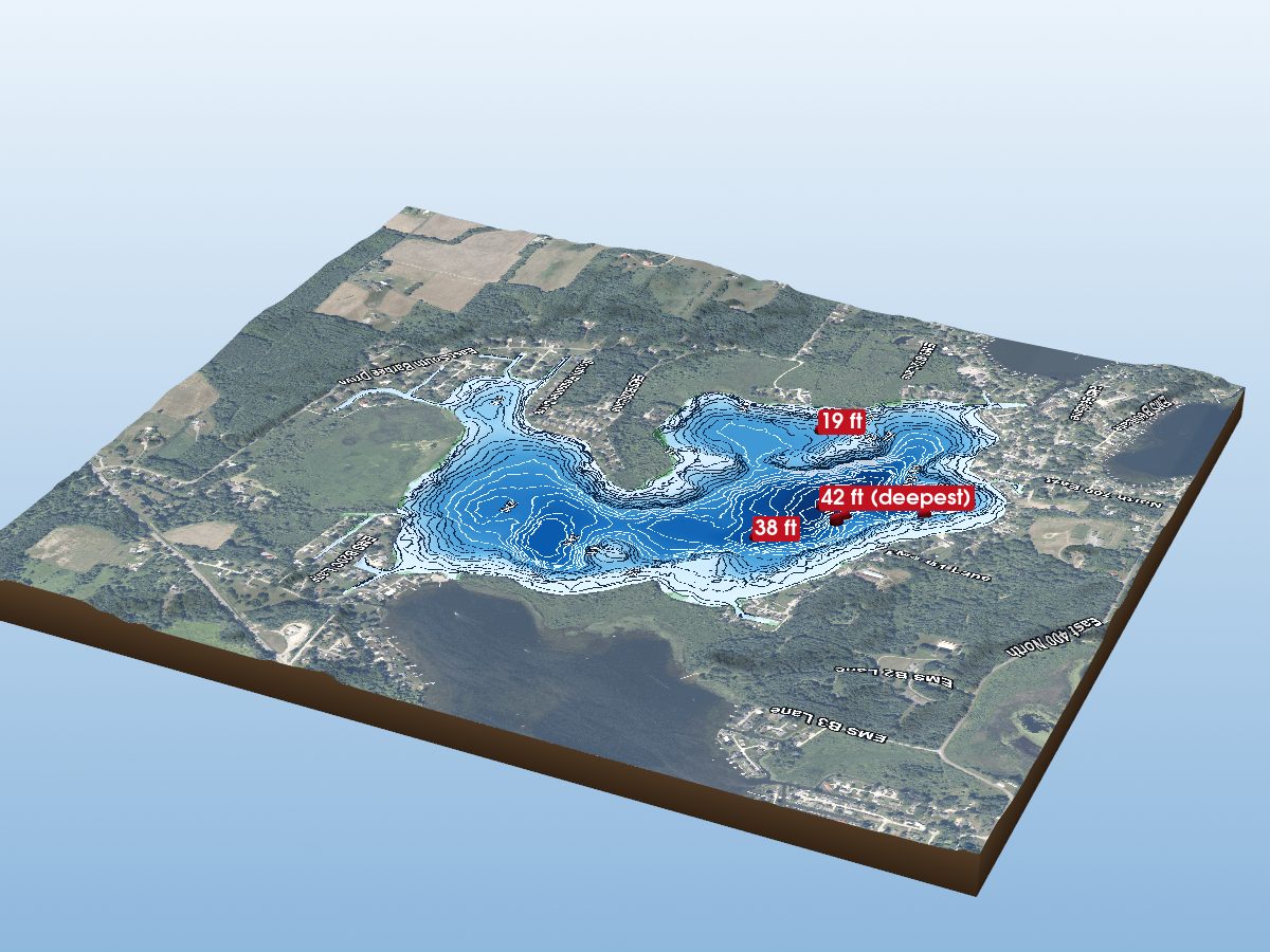
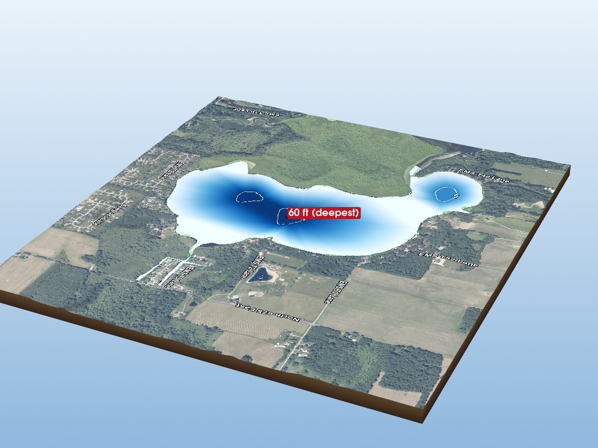
The Backwaters is mapped to a depth of 6 ft on the Indiana DNR survey and covers about 154 acres in Kosciusko County, Indiana. Depths come from the Indiana DNR survey of 2018.
Measured from the Indiana DNR lake bathymetry survey.
- Deepest mapped contour
- 6 ft
- Survey year
- 2018
- Surface area
- 154 acres
- Shoreline
- 3.26 mi · irregular
- Aquatic vegetation
- 25% of surface · NDVI estimate
- Public access
- Boat Ramp · Backwater Lake · Indiana DNR site
Additional depth details6 contours
- Contour depths
- 0–6 ft
- Recorded point soundings
- 6 ft, 2 ft, 2 ft, 2 ft, 2 ft, 2 ft
Provenance
Sources: IN DNR Lake Bathymetry, USGS 3DEP, USDA NAIP (public domain), OpenStreetMap (ODbL).
⚠ Not for navigationSpot an error? Send a correction
Map details & sources4 sources
All layers registered to one bounding box; positions in WGS 84.
Survey-derived depth contours drape over USGS 3DEP elevation, with a USDA NAIP aerial basemap and OpenStreetMap shoreline. Color shows surveyed depth; dark lines are the survey's own isobaths.
- Coordinates
- 41.31300, -85.66277
- IN DNR lake ID
- 155351290
- Vertical exaggeration
- 12.0× below the waterline; land at true scale
- Basemap
- USDA NAIP · public domain
- Model size
- 2.2 MB
Paddling
Paddling Index methodology v1.0 · calculated 2026-09-21The Backwaters has a mostly natural, lightly developed setting, generally sheltered geometry, some nearby classified roads. No special watercraft restriction is identified in the current source.
Why this score?5 components
Included in the index
| Component | Rating | Points of weight | Measurement |
|---|---|---|---|
| Natural setting | Very Good | 19.2 of 30 | 70% natural land cover within 150 m of shore (23% forest, 47% wetland; 21% developed) |
| Geometric wind exposure | Very Good | 19.7 of 25 | mean fetch 696 m · 17% of sampled water within 500 m of shelter · generally short fetch |
| Watercraft controls | None identified | 7.5 of 15 | No special watercraft restriction identified in the current DNR source. Motors permitted, subject to general law. |
| Public access | Good | 12.8 of 15 | 1 DNR fishing access site · boat ramp · ADA-accessible · fishing pier |
| Road isolation | Good | 8.0 of 15 | some nearby classified roads · 7 INDOT-classified segments within 1.2 km, peak 1,207 vehicles/day |
Additional paddling considerations
These describe the lake but are not part of the v1 Paddling Index and do not change the number above.
- Wake sensitivity
- Low — wide enough that wakes disperse over most of the lake
- Aquatic vegetation
- Moderate — approximately 25% mapped coverage · NAIP aerial imagery (NDVI)
- Observed motorized activity
- Unknown — No lake-level measurement of boat traffic is available. Legal permission to operate motors is not evidence of use.
- Wildlife habitat potential
- High — 23% forest and 47% wetland cover within 150 m of shore
Compare Indiana lakes by Paddling Index →
Fishing rules
No recent catch, survey, or stocking data for this lake — but a fisheries order still governs it.
Fishing rules for this lake Beta
Rules that apply to this water, whatever you are fishing for.
These are hook-and-line size and daily limit rules. The fishing code sets no closed season for these species on inland lakes, but posted property rules can close a water — see the notes. Gear, spearing and bow fishing, netting and bait collection are set by other sections of 312 IAC 9 and are not shown here.
Official rule text for this lake
“An individual must not take or possess a muskellunge or tiger muskellunge unless that muskellunge or tiger muskellunge is at least forty-four (44) inches long from the following lakes in Kosciusko County: (2) Backwater Lake.” — 312 IAC 9-7-4(c), Indiana Administrative Code
From 312 IAC 9-7 (Sport fishing), Indiana Administrative Code (readopted 2025-03-25), and the 2026-2027 Indiana Fishing Regulations Guide · verified 2026-09-15. Regulations can change — the Indiana Administrative Code (312 IAC 9-7) is the controlling source; verify current regulations before fishing. Official regulations
The Backwaters — common questions
How deep is The Backwaters?
The deepest contour on the Indiana DNR bathymetric survey of The Backwaters is 6 ft. That is the deepest depth the historical survey map records, which may differ from the deepest point of the lake itself.
How big is The Backwaters?
The Backwaters covers about 154 acres in Kosciusko County, Indiana.
Is there public access to The Backwaters?
Yes. The Indiana DNR lists a public access site on The Backwaters: a boat ramp with a fishing pier, a boat dock, restrooms and ADA access. The DNR records no fee. DNR directions: "One mile east of North Webster on 744 Backwater Rd."